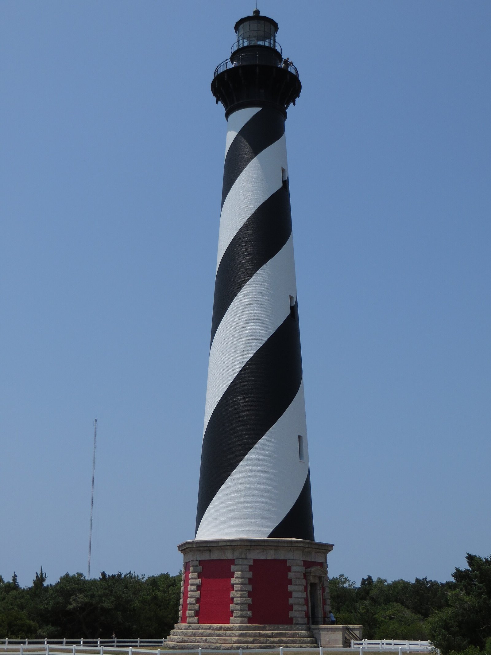
A slow-moving nor'easter is lashing the Mid-Atlantic coast from North Carolina to New Jersey with coastal flooding, gusts up to 50 mph and pounding surf, and it is expected to last into the middle of this week, ABC News reported. On North Carolina's Hatteras Island, visitors have been ordered to leave.
The National Weather Service warns that 2 to 4 feet of water could cover low-lying parts of Hatteras and Ocracoke islands, and that the islands could be cut off for several days.
Who is under warnings?
| Area | Alert | Until |
|---|---|---|
| Hatteras Island | Coastal Flood Warning (2–4 ft); High Surf Advisory (10–14 ft) | Wed. 8 p.m.; Thu. 6 a.m. |
| Ocracoke Island | Coastal Flood Warning (2–4 ft); High Surf Advisory (6–9 ft) | Wed. 8 p.m.; Wed. 8 a.m. |
| Northern Outer Banks | Coastal Flood Advisory (1–3 ft); High Surf Advisory (9–12 ft) | Wed. 8 p.m.; Thu. 6 a.m. |
| East Carteret County | High Surf Advisory (8–10 ft) | Wed. 8 a.m. |
| Pamlico, Southern Craven, Tyrrell | Coastal Flood Advisory (1–2 ft) | Tue. 2 a.m. |
| Va., Md., Del., N.J. coasts | Coastal flood alerts | Monday–Tuesday |
North Carolina alerts are from the NWS office in Newport/Morehead City as of Monday morning. Alerts for the other states are as reported by ABC News.
Is Hatteras Island being evacuated?
Yes, for visitors. Dare County Emergency Management ordered a mandatory evacuation of visitors from Hatteras Island, causing heavy traffic on N.C. 12.
"Visitors are not permitted to enter Hatteras Island at this time," the county said in a statement Sunday. They will not be allowed back until the road is safe, ABC News reported.
The Hatteras-Ocracoke ferry was suspended Saturday afternoon. Cape Hatteras National Seashore closed campgrounds, off-road vehicle ramps and visitor facilities, the Island Free Press reported. Cape Hatteras schools dismissed early on Monday because of rising tides.
Will N.C. 12 flood?
It might, repeatedly. The NWS says significant ocean overwash is expected at vulnerable oceanfront spots through multiple high tides into midweek. It warns that Hatteras and Ocracoke "could face multi-day isolation, which could be life-threatening in an emergency."
Sunday's 1:30 p.m. high tide passed without significant overwash, though minor to moderate overwash was reported, according to the Island Free Press. Monday afternoon's high tide was the next concern. NCDOT has urged travelers to prepare for possible multiday closures of N.C. 12.
How strong are the winds and waves?
- Winds: Sustained northeast winds of 25 to 35 mph, gusts to 50 mph, along coastal Virginia and North Carolina, including Virginia Beach and the Outer Banks.
- Waves: Breakers of 9 to 12 feet along parts of the Outer Banks and the Delmarva Peninsula, and up to 14 feet on Hatteras Island, through early Thursday.
- Rip currents and erosion: Dangerous rip currents and significant beach erosion are expected all along the coast.
Where else will see flooding?
Minor to moderate coastal flooding is likely at high tide in places including Atlantic City and Virginia Beach, ABC News reported. Coastal flood alerts run Monday through Tuesday in Virginia, Maryland, New Jersey, North Carolina and Delaware.
The storm is mostly a wind and wave event; most of its rain is staying offshore.
What should people on the coast do?
- Never drive through flooded roads. Saltwater can stall cars and hide washouts.
- Stay off beaches and out of the water. Surf this big and rip currents this strong can sweep people away.
- Move cars to higher ground before high tide in flood-prone areas.
- Follow local officials for updates on N.C. 12, ferries and re-entry to Hatteras.
Earlier this month, Hurricane Isaias brought flooding rain to the Carolinas.